Wetland Delineation
 Wetland Mitigation
 Listed Species Surveys
 Gopher Tortoise Relocation
 Incidental Take Permits Wetland Delineation
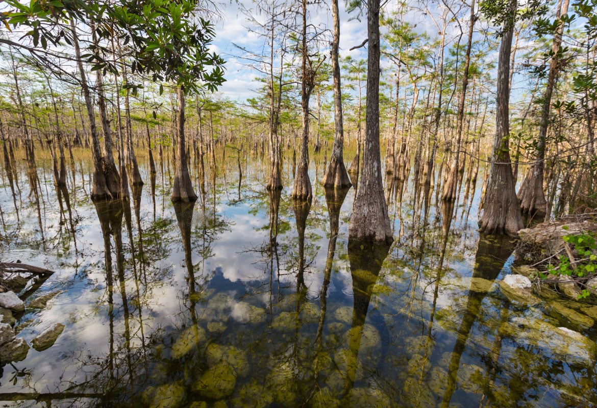
This process is essential for any project planning in areas where wetlands may be present, ensuring compliance with both state and federal laws. Our team uses a combination of field assessments and advanced technological methods, such as ground penetrating radar and GPS mapping, to accurately determine the limits of these sensitive ecological areas. Through wetland delineation, CES helps project developers and landowners understand the extent of wetland areas, guiding them in making informed decisions about land use and development while protecting vital natural habitats. Our precise delineation process is not only a regulatory requirement but also a step towards responsible environmental stewardship, preventing unauthorized disturbances in ecologically sensitive areas.
Wetland MitigationThis process involves creating, restoring, enhancing, or in some cases, preserving wetlands to compensate for unavoidable impacts to these crucial ecosystems during development projects. At CES, we develop comprehensive mitigation plans that meet regulatory requirements and aim to sustain the ecological value and functionality of wetlands. Our approach includes careful assessment of the impacted wetland’s characteristics and functions, followed by designing and implementing strategies that effectively replace lost wetland values. By prioritizing ecological integrity and sustainability, CES’s wetland mitigation efforts ensure long-term environmental benefits and compliance with legal standards.
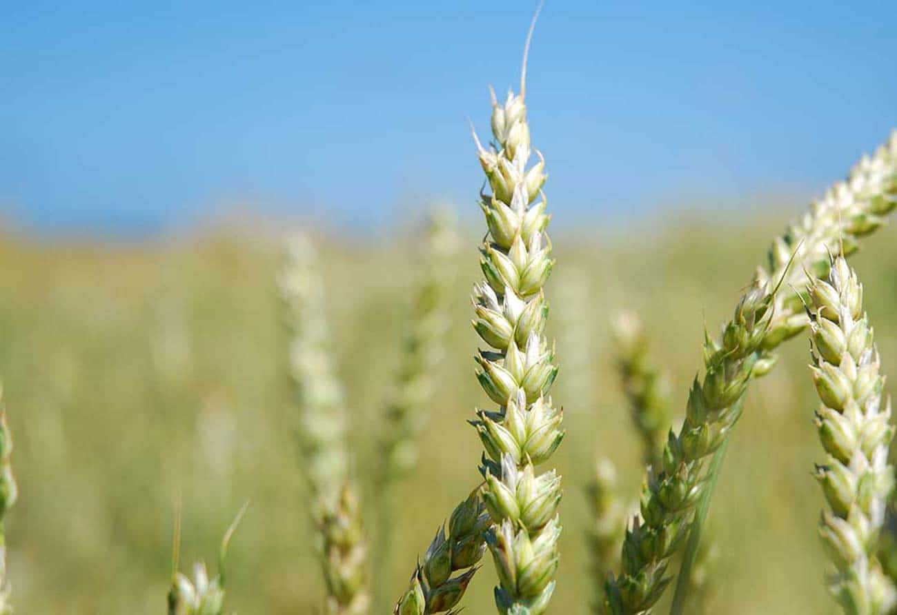
Listed Species SurveysThese surveys are conducted to identify the presence of endangered or threatened species within project areas, which is crucial for any development planning in ecologically sensitive regions. Our skilled ecologists employ a range of field survey techniques, from habitat assessment to direct species observation, to accurately detect and document these species.
The findings from these surveys guide project planning and implementation, ensuring that necessary measures are taken to minimize impacts on these critical species. By conducting thorough and diligent Listed Species Surveys, CES plays a pivotal role in safeguarding ecological balance and aiding clients in adhering to state and federal wildlife protection laws, demonstrating our commitment to environmental conservation and responsible development practices.
Gopher Tortoise RelocationGopher tortoises, a species with protected status, often find their habitats in the path of construction and development projects. Our team can safely and humanely relocate these tortoises, following stringent guidelines and best practices to ensure their survival and well-being. We conduct comprehensive site assessments to identify gopher tortoise burrows, plan their relocation to suitable habitats, and execute the move with minimal stress to the animals.
This process not only helps in preserving the species but also aids developers in complying with environmental regulations. CES plays a crucial role in balancing developmental needs with preserving Florida’s unique wildlife by providing expert Gopher Tortoise Relocation services.
Incidental Take PermitsThese permits are essential when non-intentional harm to wildlife, listed as endangered or threatened, might occur due to construction or land development activities. At CES, our approach involves conducting thorough environmental assessments to understand potential impacts and developing comprehensive mitigation strategies that meet regulatory requirements.
We navigate the complex permit application process, ensuring all documentation and conservation plans align with the U.S. Fish and Wildlife Service guidelines. By securing Incidental Take Permits, CES aids project developers in legally proceeding with their activities while upholding their responsibilities towards wildlife protection, thereby striking a balance between development and environmental stewardship.