Hydrogeological Investigations
Hydrogeological Investigations
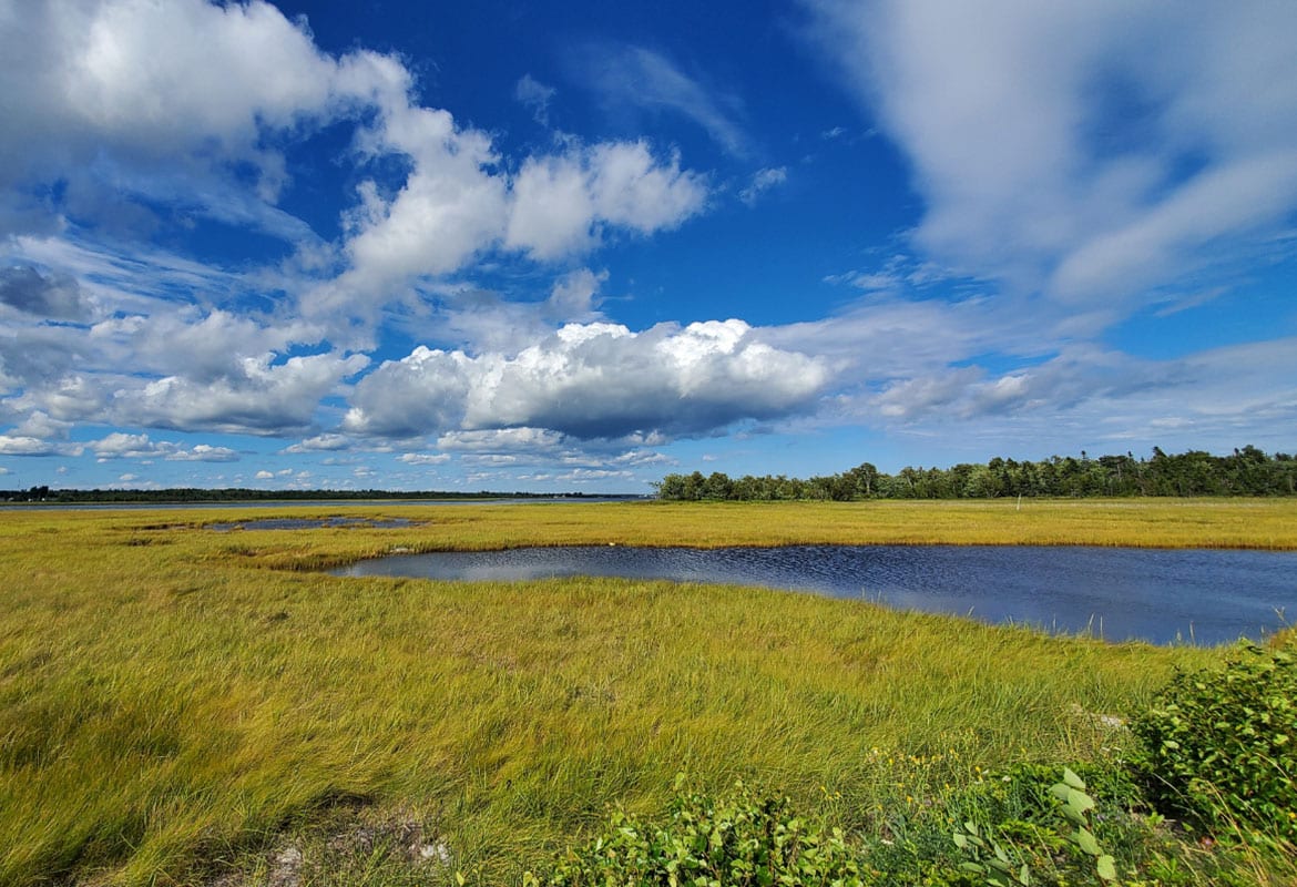
Hydrogeological investigations are specialized studies focused on understanding and managing groundwater resources. These investigations play a pivotal role in assessing the quality, quantity, and dynamics of groundwater systems, forming the backbone of sustainable water resource management and environmental protection strategies.
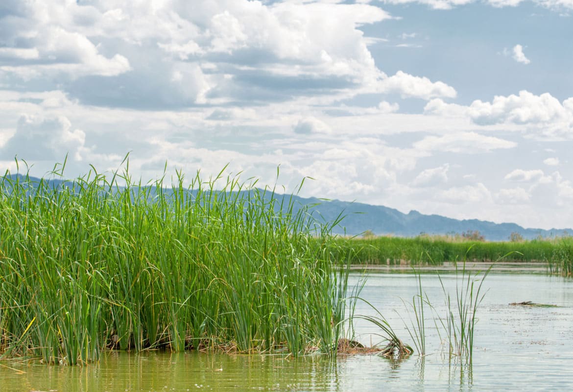
At CES, our expertise in hydrogeology is wide-ranging and robust. We have successfully completed studies for environmental resource and water use permits, evaluated potential impacts to wetlands and surface water features, estimated freshwater reserves for water supply projects, identified freshwater/saltwater interfaces, and assisted in contaminant migration assessments.

Key Components of Hydrogeological Investigations
Our hydrogeological studies encompass a variety of components, each critical to obtaining a comprehensive understanding of groundwater systems.
Hydrogeological studies may include the following:
Specific-interval groundwater sampling and flow measurements to assess the quality and movement of groundwater.
Core drilling of aquifer and aquitard layers for detailed geological analysis.
Permeability testing of rock cores to determine water movement through geological formations.
Multi-well pumping tests and drawdown analysis to understand the interaction between wells and aquifers.
Advanced groundwater modeling to predict future trends and impacts.
Aquifer performance testing and single well tests for evaluating the capacity and characteristics of aquifers.
Multi-well pumping tests and drawdown analysis to understand the interaction between wells and aquifers.
Advanced groundwater modeling to predict future trends and impacts.
Soil Excavations
Insitu Chemical Oxidation
Why Hydrogeological Investigations Are Essential
Hydrogeological investigations are instrumental in environmental management, aiding in assessing and mitigating potential contamination. These studies are also vital in water resource development, helping to ensure the sustainable use of groundwater. Additionally, they provide valuable insights for addressing contamination issues, guiding remediation efforts, and supporting legal and regulatory compliance.
Creative Environmental Solutions, Inc. (CES) is a leader in providing comprehensive hydrogeological investigation services. With a deep-rooted understanding of geology, environmental science, and engineering, CES offers a suite of hydrogeological studies tailored to meet the unique needs of clients across various sectors.
Our Technical Approach and Methodologies
At CES, we utilize state-of-the-art equipment and methodologies in our hydrogeological investigations. Our technical approach is marked by precision, accuracy, and adherence to the latest scientific practices, ensuring that each study we undertake is thorough and reliable.
CES is committed to upholding the highest standards of compliance and industry best practices. Our hydrogeological investigations are conducted in accordance with relevant environmental regulations, ensuring that our clients receive services that are not only expertly executed but also legally sound.
Featured Projects
Check out our featured Site Assessment & Remediation projects.

TRANSPORT
Lorem Ipsum is simply dummy text ofering thetonat sunrising printing and typesetting industry seo is partysipati carma.

TRANSPORT
Lorem Ipsum is simply dummy text ofering thetonat sunrising printing and typesetting industry seo is partysipati carma.

Concrete
Lorem Ipsum is simply dummy text ofering thetonat sunrising printing and typesetting industry seo is partysipati carma.
Contact Us Today
Our extensive experience and technical expertise position us as a preferred choice for clients seeking in-depth and reliable hydrogeological studies.
Testimonials
Whether you are a member of a governmental organization, a private business entity, or an individual, we can help.
Creative Environmental Solutions is a top-notch, professional environmental consulting firm with decades of experience in the field and industry. George Foster and his Team are personable, timely, and knowledgeable with a reputation for quality and reliability amongst both private and government sector entities involved in the Environmental arena. I would fully recommend that you consider Creative Environmental Solutions for your environmental consulting service needs.
Creative Environmental Solutions has been providing environmental and engineering services to support our concrete ready mix and block plants across Florida for decades, including industrial wastewater and water use permitting and compliance, wetland and listed species surveys, contamination assessment and remediation services, and more. We contact CES when we have a problem! I highly recommend their services.
Creative Environmental has been responsible for industrial and domestic waste water permitting and monitoring at our Florida facilities since the 1990s. They have provided consistent and high-quality service and have always been just a phone call away. I would recommend CES and their comprehensive staff without hesitation, knowing the quality of workmanship and results are trusted.